Here you will find a collection of maps covering a variety of subjects in the City. Our interactive maps allow users to actively engage with the map, expanding the value of the information. Our printable maps are available for download in pdf format.
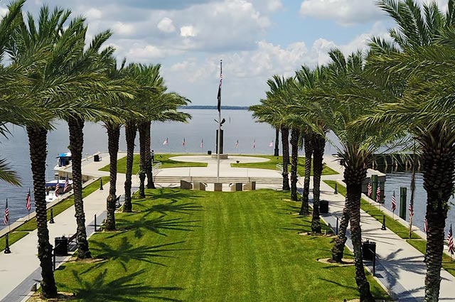
This interactive map can be used to find government services at your address.
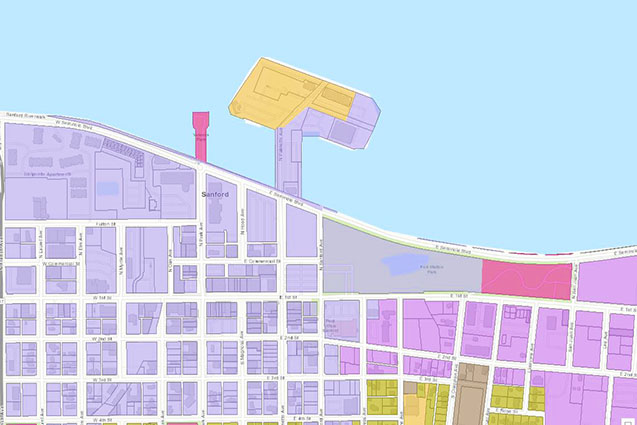
Interactive zoning map for the city of Sanford, Florida.
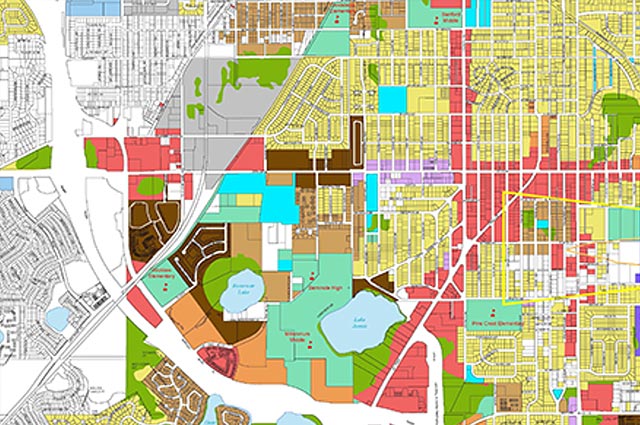
Interactive future land use map for the city of Sanford, Florida.
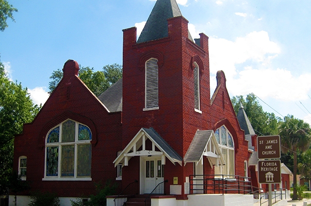
Interactive version of the Pathways to History Historic Georgetown Tour

Interactive version of the Commercial Historic District Tour
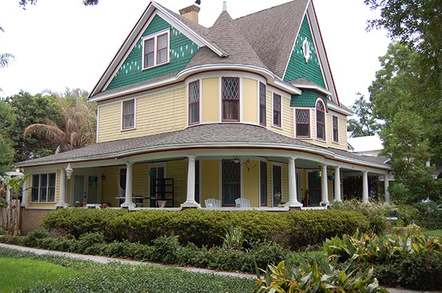
Interactive version of the Old Sanford Residential Historic District Tour
City of Sanford Map…………………………………………………………………………………………………………………………………………………………………….
Sanford Zoning Map…………………………………………………………………………………………………………………………………………………………………….
Sanford Future Land Use Map…………………………………………………………………………………………………………………………………………………….
Sanford Historic Districts Map……………………………………………………………………………………………………………………………………………………..
City Commission Districts Map……………………………………………………………………………………………………………………………………………………..
300 N Park Ave
Sanford FL, 32771
Mon – Thur: 7:00 am – 5:30 pm
Fri: 8:00 am – 1:00 pm