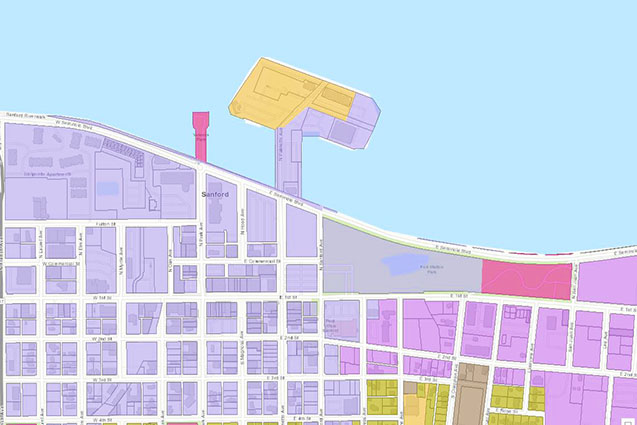
Sanford Zoning
Interactive zoning map for the City of Sanford, Florida.
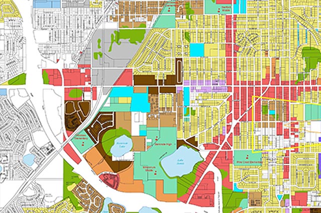
Sanford Future Land Use
Interactive future land use map for the City of Sanford, Florida.
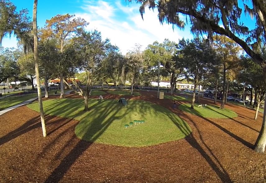
Paw Park
Interactive map of Paw Park
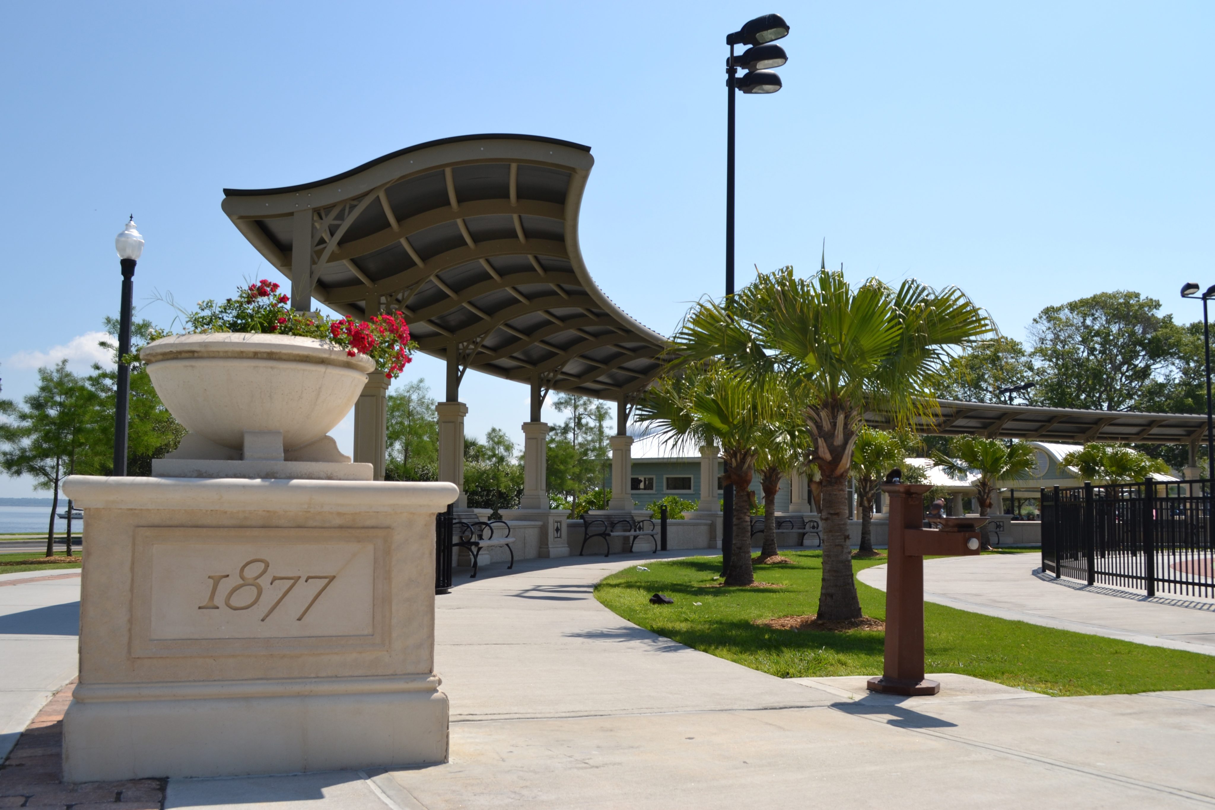
Ft Mellon Park
Interactive map of Ft Mellon Park
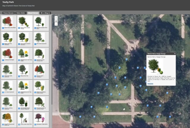
Touhy Park
Interactive map of Touhy Park
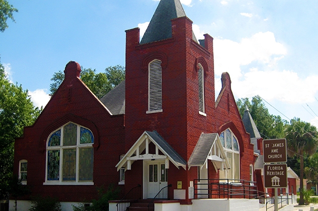
Historic Georgetown
Interactive version of the Pathways to History Historic Georgetown Tour
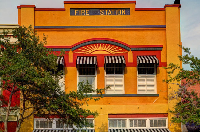
Commercial Historic District
Interactive version of the Commercial Historic District Tour
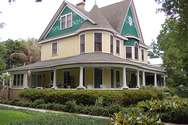
Historic Districts
Interactive version of Sanford's Historic Districts Map
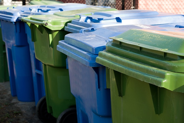
Solid Waste Collection
Find out when your garbage, yard waste, and recyclables are picked up

Street Sweeping
Interactive map of street sweeping zones in the city

My Elected Official
Enter your address to see your Local, State, and Federal elected officials.
Street Sweeping
Interactive version of the Commercial Historic District Tour
